Description
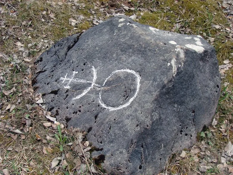
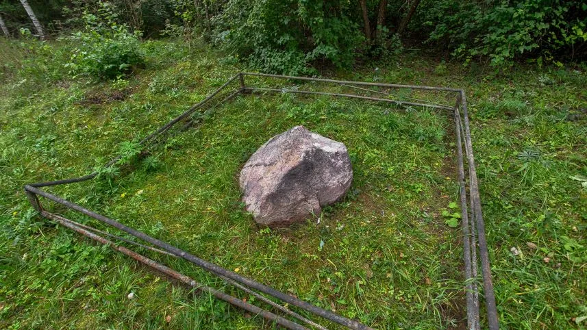
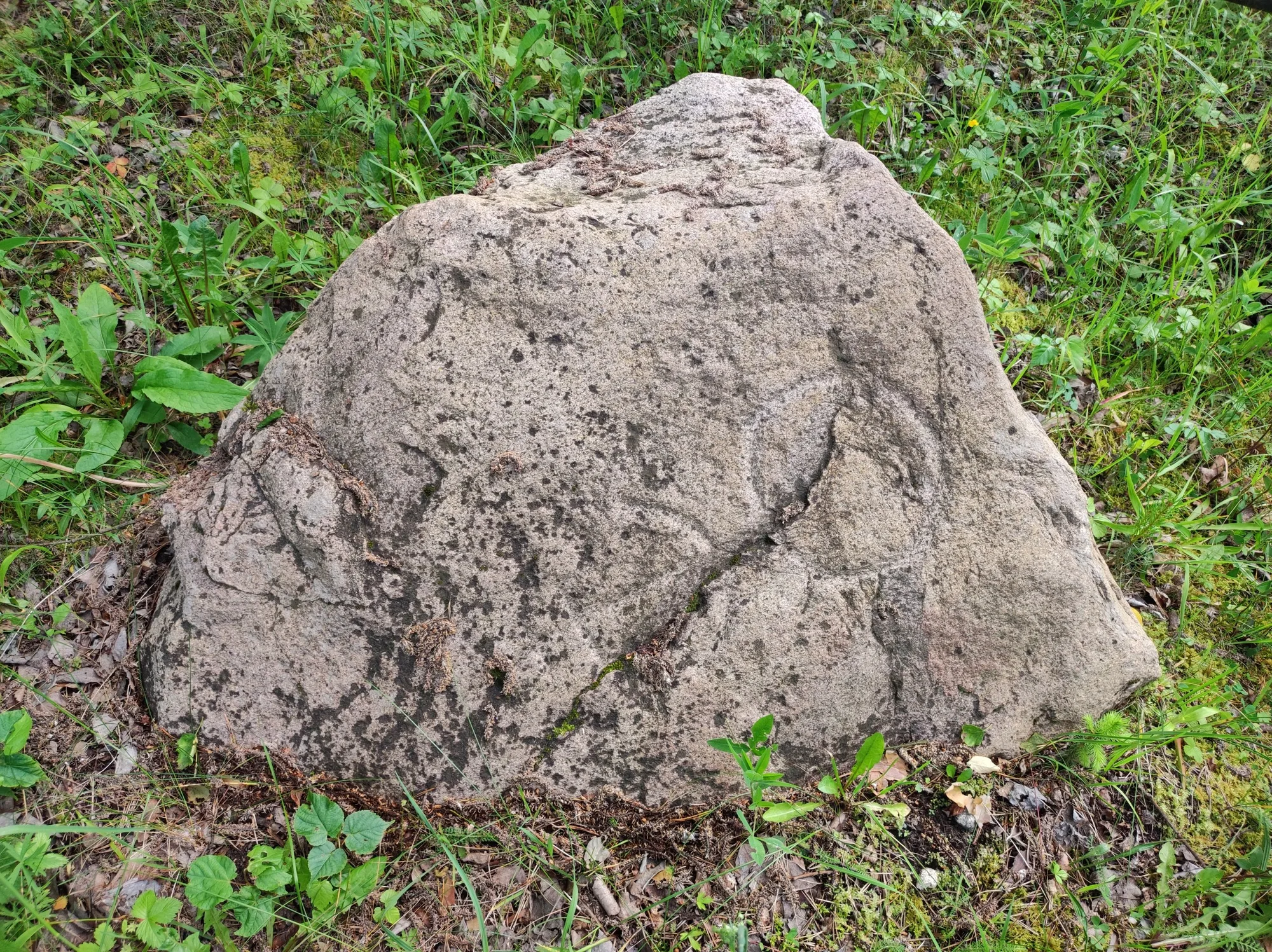
Near the Salakas burial mounds, on the left side of the road, lies a stone bearing a symbol, known as “Napoleon’s Stone.” In 2022, right here—at the site of a planned road reconstruction—archaeologists discovered another stone bearing the same symbol. The latter had once been pushed into a ditch next to the burial mound and buried. According to historical sources, it is known that in the mid-16th century, Motiejus Petkevičius—a courtier of the ruler who managed the Luodžiai estate and served as the governor of Skirsnemunė and Raseiniai—became embroiled in a conflict over the Salakas Forest with the landowner of Dūkštas, Mikalojus Šimkovičius Pašušviečius, the steward of Ariogala. On December 31, 1552, an agreement was reached between the lords, and on October 6, 1554, a boundary demarcation act was drawn up. The boundary stones at Gailiutiškė, Žagarinė (no longer extant), and Dirvoniškis (Ignalina District) are also associated with the boundaries of Motiejus Petkevičius’s estates. The Gailiutiškė stone is inscribed with the date 1554 and the inscription “Mocei-PetZ,” The Dirvoniškis stone also bears the date 1554 and the same symbol, whereas the stones located within the Salakas burial mound complex bear only the same symbol without any inscriptions. There were apparently more such stones, but they have not survived to this day.